Address
Region : North
Department : Benoue
Municipality : Garoua 3e
GPS coordinates of the site : N 9,30 83 39 E 13,39 34 74
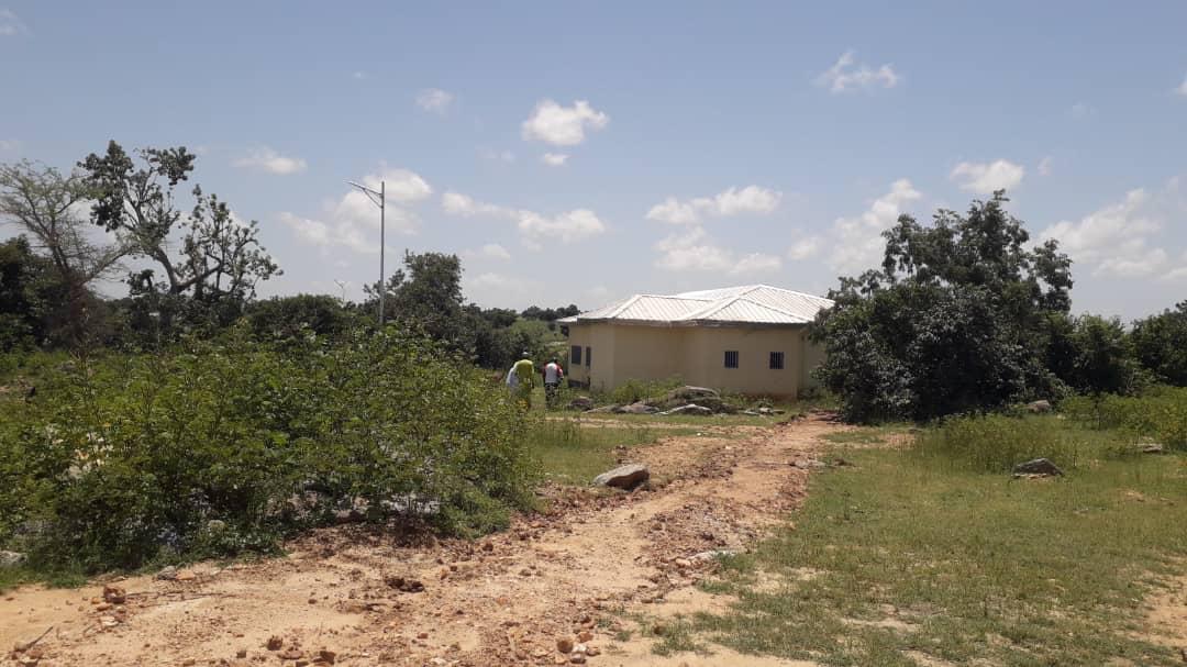
The Benoue is a river in Africa and the main tributary of the Niger River. The river is approximately 1,400 km long. It takes its source in the Adamaoua massif in northern Cameroon, then heads west towards Nigeria passing through the town of Garoua, before flowing into the Niger at Lokoja, a little south of 'Abuja. Upstream in the Adamaoua, its bed has dug a canyon into the cliff, then crosses the Bouba Ndjidda National Park and reaches the town of Garoua. The flora present in its steep section resembles more in certain places that of the forests found in the south of the country, in contrast with the flora of the plateau which is more of a wooded savannah and the flora of the plain, of a wooded and shrubby. Bénoué is especially interesting for its numerous hippopotamus ponds which allow you to observe them very closely. To enhance the relaxation time of visitors and tourists, arrangements have been made including:

- A reception structure built and equipped
- A bar-restaurant built;
- A built pier;
- site connected to the ENEO electricity network;
- Supply of the site with drinking water (drilling with castle and distribution network);
- Construction of access stairs with guardrails;
- Construction of 02 shelters and 10 public benches;
- Furnished leisure area…